

Where is it? Rennell Island, Solomon Islands [-11.589514301, 160.17549068]
What's in the photo? A "sunglint" shining off the ocean and the island's lake
Who took the photo? An unnamed astronaut on board the International Space Station
When was it taken? Jan. 8, 2023
This eye-catching astronaut snap shows a rare phenomenon known as a "sunglint," which transformed a Pacific island into a pseudo-magnifying glass with a shining silver lens.
The uniquely shaped landmass is Rennell Island (also known as Mugaba or Mu Nggava), one of the southernmost of the Solomon Islands — an archipelago nation of nearly 1,000 islands, atolls and reefs that lies between Australia, Papua New Guinea and Fiji. It is up to 50 miles (80 kilometers) long and 8 miles (13 km) across at its widest point.
At the southeastern end of the island (right side of this photo) lies Lake Tegano (also known as Lake Te Nggano), a roughly 60-square-mile (155 square kilometers) body of brackish water, which is surrounded by a jagged ring of coral topped with dense forest. It is the largest lake on any Pacific island, according to Britannica.
In this photo, sunlight reflects off the surface of both the Pacific Ocean and Lake Tegano directly into the astronaut's camera, making the water appear metallic. This sunglint effect is the strongest on the lake's left side and a horseshoe-shaped bay on the island's bottom edge, because these areas are most sheltered from the wind and therefore have the stillest and most reflective surfaces, according to NASA's Earth Observatory.
Shadows from clouds are peppered across the sea's silver surface, adding an element of depth to the scene.
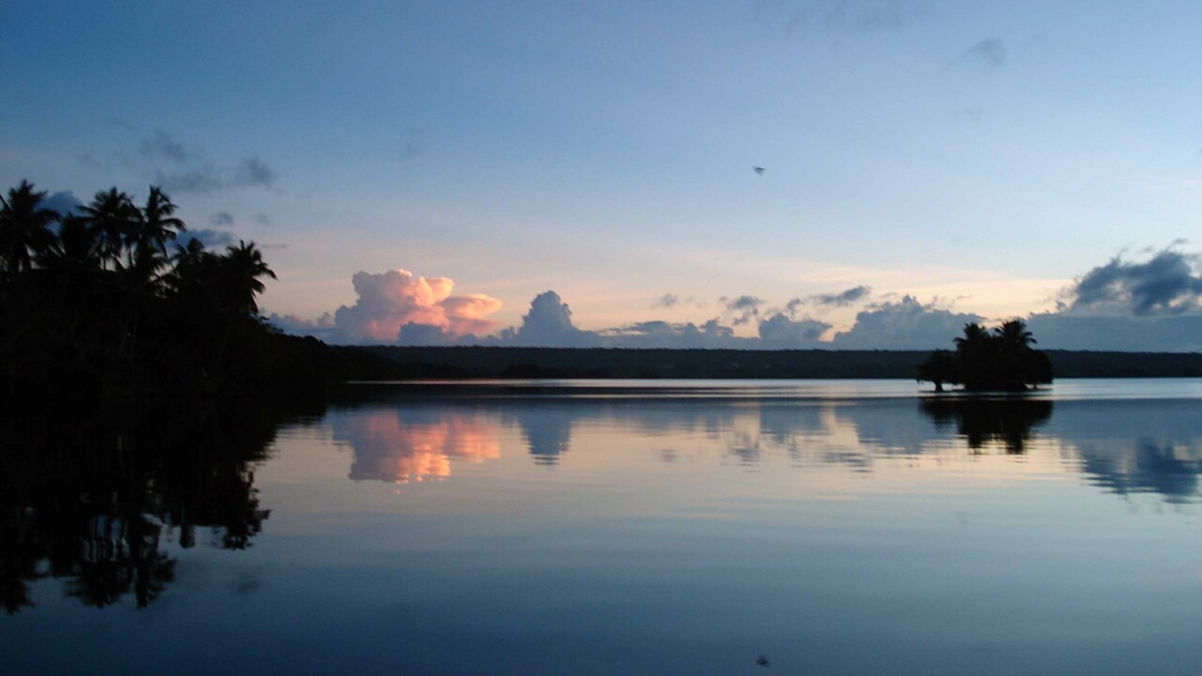
Sunglints are useful to scientists because they can help reveal hidden oceanographic features, such as subsurface currents, oil slicks and internal waves, which look like marks on a mirror when this phenomenon is ongoing. Sunglints can also occur on land when sunlight reflects off rivers or illuminates large lakes.
However, the reflected sunlight can obscure parts of aerial images, making them a nuisance in certain tasks, such as hurricane tracking. As a result, sunglints are digitally removed from most satellite images, according to the National Oceanic and Atmospheric Administration (NOAA).
Rennell Island is an atoll, meaning it is built on top of the remains of an ancient coral reef, most likely left behind when another island sank into the sea long ago. Its highest point sits around 500 feet (150 meters) above the ocean surface, making it the tallest atoll in the world, according to Britannica.
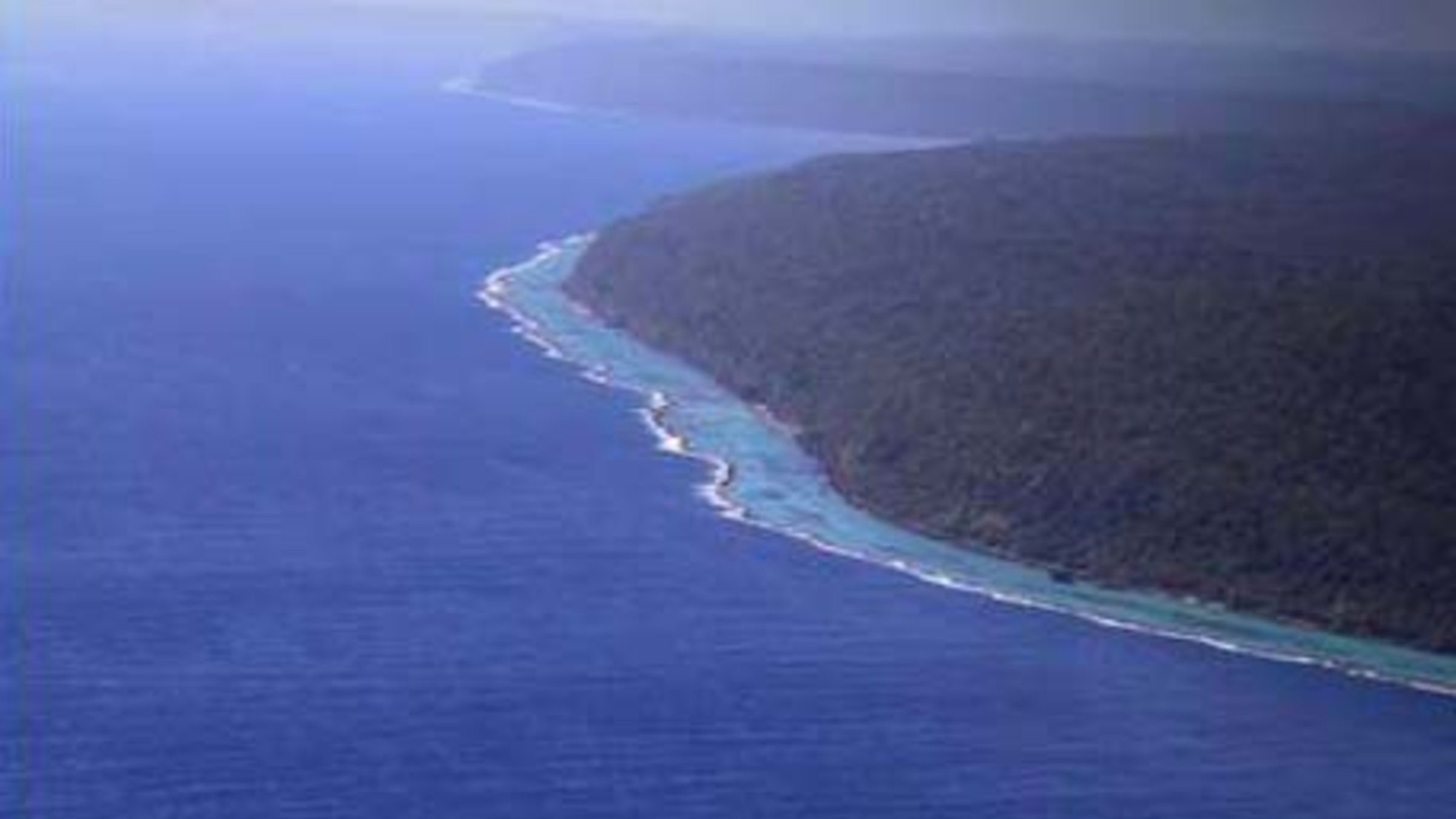
The landmass is surrounded by a fringing coral reef, which can usually be seen in aerial photos as a light-blue or turquoise band around the atoll's edge. However, because of the sunglint, the reefs have disappeared from view in this image. Similarly, Lake Tegano has several small islands that can't be seen here due to the reflected sunlight.
The region surrounding Lake Tegano is a biodiversity hotspot and has been listed as a UNESCO World Heritage Site. This area, dubbed East Rennell, is home to more than 20 endemic bird species, as well as the Crocker's sea snake (Laticauda crockeri), which is vulnerable to extinction, according to the Earth Observatory.
See more Earth from space
 Underwater plume meets a cloud 'street'
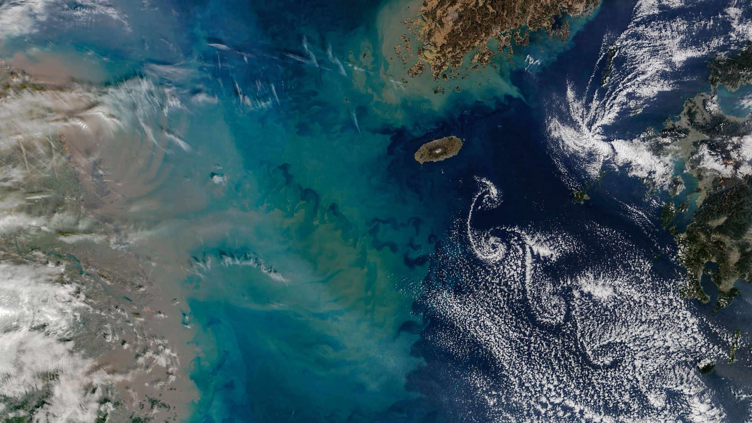
A recent satellite photo captured a series of clouds sculpted by von Kármán vortices from a volcano on South Korea's Jeju Island. A giant multicolor plume, ejected by China's Yangtze River, is also visible in the image.
 'Bull's-eye' cloud rings over volcano
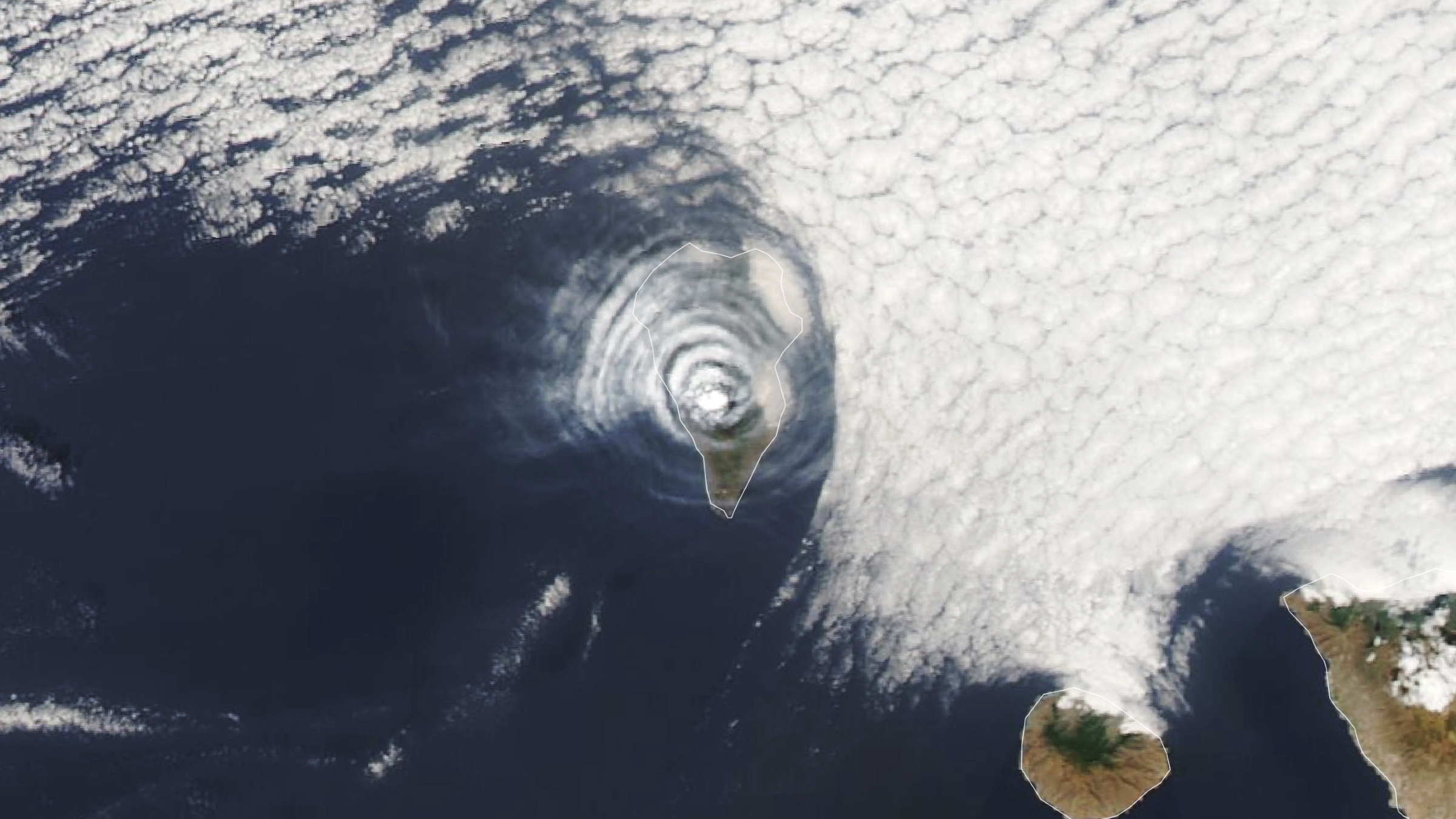
A 2021 satellite photo shows an unusual series of concentric cloud rings that appeared directly above an erupting volcano on La Palma in Spain's Canary Islands.
 Giant ring of glowing plankton
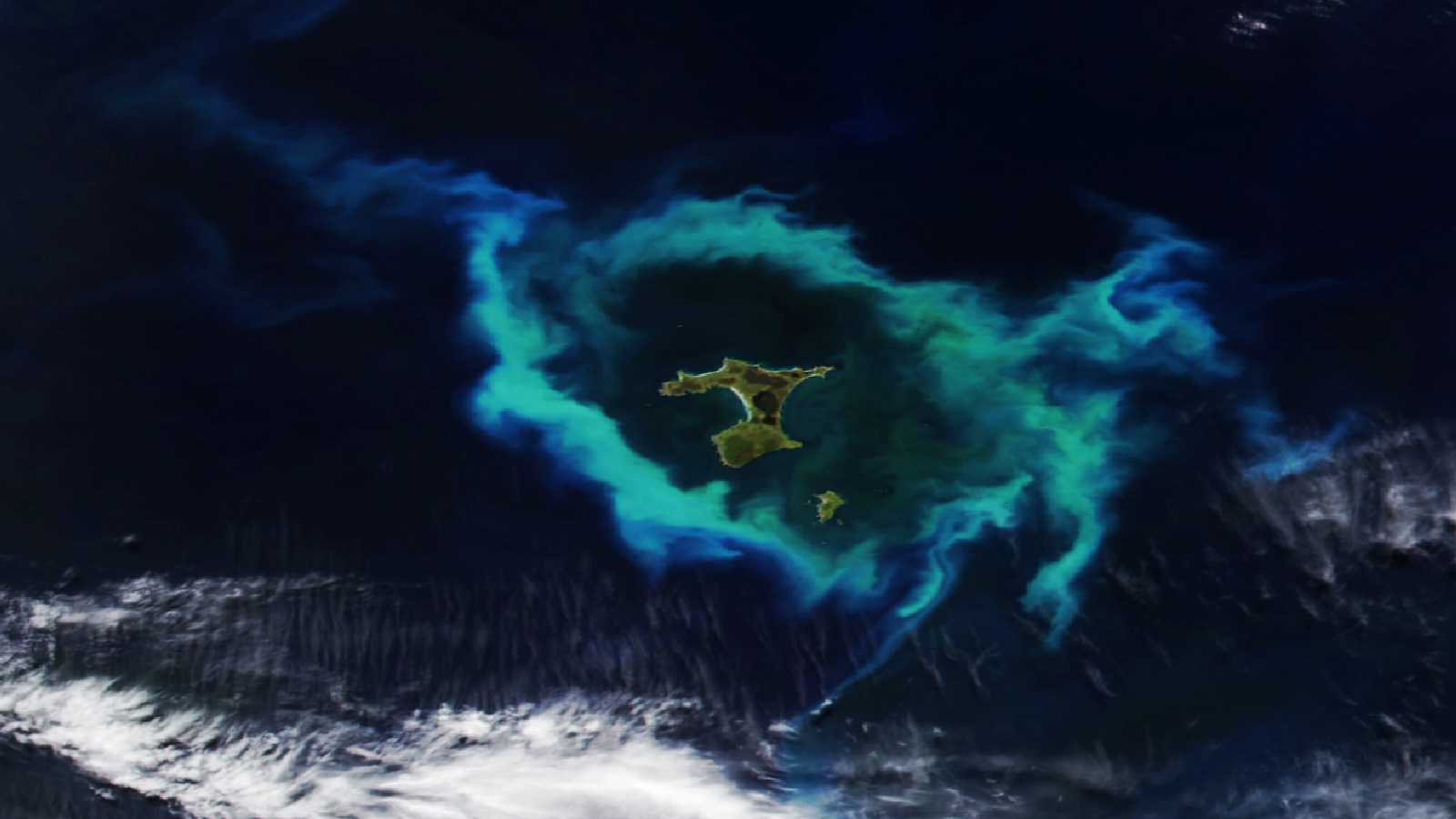
A recent satellite photo captured a gleaming halo of phytoplankton encircling the remote Chatham Islands. The stunning sight is the result of a hidden underwater structure, which has also helped kill hundreds of cetaceans.




 Bengali (Bangladesh) ·
  English (United States) ·