

Where is it? Emi Koussi, Chad [19.825520656, 18.551560720]
What's in the photo? A patch of bright-white salt at the summit of the Sahara's tallest volcano
Who took the photo? An unnamed astronaut on board the International Space Station
When was it taken? Dec. 29, 2024
This intriguing astronaut photo shows a bright-white, salty surprise lurking at the summit of a giant volcano in the Sahara. The ancient, lava-covered peak also holds hidden, shadowy waterways, despite its extremely arid environment.
Emi Koussi (also known as Emi Koussou) is a pyroclastic shield volcano in northern Chad. It's located within the Tibesti Massif, a volcanic mountain range that straddles the border between Chad and Libya. The volcano's dome-shaped cone is up to 43 miles (69 kilometers) across and reaches a maximum elevation of 11,204 feet (3,415 meters) above sea level, making it the tallest peak in the Sahara, according to NASA's Earth Observatory.
Emi Koussi is classified as extinct, and there are no historical records of it erupting, according to the Smithsonian Institution's Global Volcanism Program. However, scientists know that it was once highly active because its gradual slopes are covered with ancient lava. Some experts think this once-molten rock is around 2 million years old and likely flowed with low viscosity, "more like motor oil than toothpaste," Earth Observatory representatives previously wrote.
At the volcano's summit lies a complex caldera system that spans up to 9 miles (15 km) across and is covered with various volcanic vents and cones (see photos below). A second, smaller crater, dubbed Era Kohor, lies at the caldera's southern end.
Nestled within Era Kohor, a thick crust of brilliant-white salt covers the lowest part of the caldera's floor. This crystal layer, which reaches up to 3,300 feet (1,000 m) across, reflects light in such a way that astronauts commonly confuse it for snow, which rarely falls in the area.
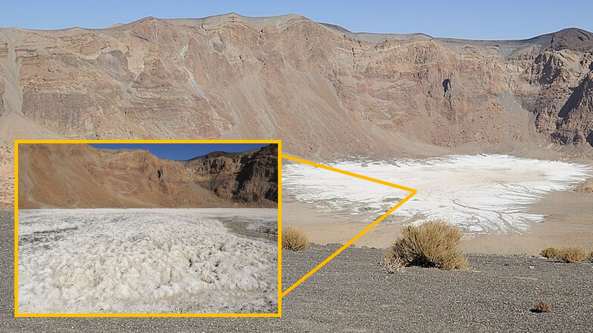
The salty compound, known as natron, is a mix of sodium carbonate decahydrate, sodium bicarbonate, sodium chloride and sodium sulfate. It was left behind by an ancient salty lake that once filled Era Kohor but has long since evaporated.
This is not the only notable natron deposit in the Tibesti Massif. Around 150 miles (240 km) northwest of Emi Koussi (also in northern Chad) lies a volcanic caldera known as Trou au Natron (or Doon Orei), which contains a layer of the salty substance that is arranged with a pair of cones in a way that makes it look like a giant skull when viewed from above. This unusual deposit lies next to another hefty volcano, dubbed Toussidé, which is also covered with tendrils of ancient lava.
While Emi Koussi's ancient activity was mostly centered at its summit, a pair of volcanic cones can be seen on the mountain's northern flank. The lava that quickly flowed from these openings likely helped to create a series of ravines between the mountain and a volcanic plateau, dubbed Tarso Ahon, which is partly visible in the top left of the photo.
These ravines are very narrow and deep, meaning they are near-permanently cast in shadow and much cooler than their surroundings. As a result, they can often hold liquid water, despite the Tibesti Massif receiving as little as 0.8 inches (20 millimeters) of rain a year. Two of the largest canyons — which are 2,000 feet (600 m) and 700 feet (250 m) deep, respectively — contain permanent waterways that flow east and west of the volcano, according to the Earth Observatory.
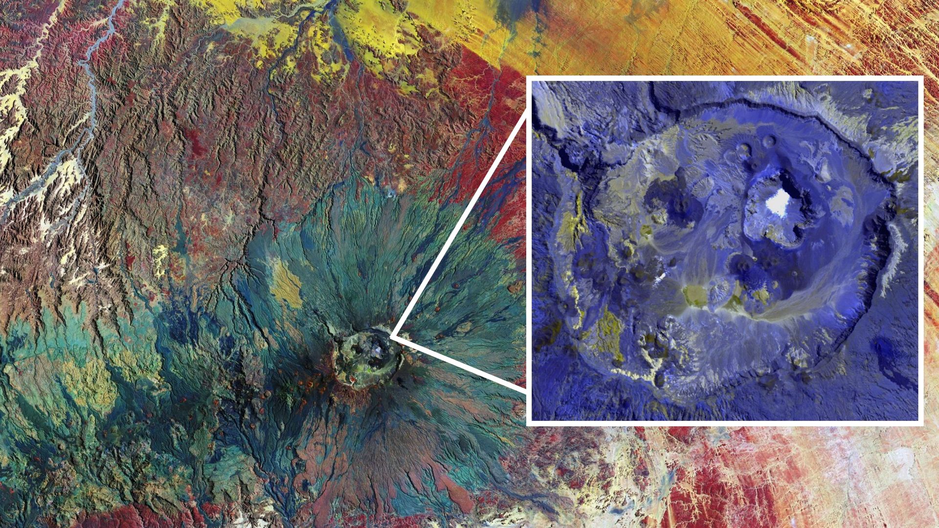
Emi Koussi's slopes are covered with dry "stream channels," which were carved out by millennia of rain flowing down its flanks. Current rainfall patterns would struggle to create such structures. However, thousands of years ago, during the mid-Holocene, the average rainfall was at least 10 times greater, according to a 2025 study that compared the ancient lakes of Era Kohor and Trou au Natron. (The Holocene is the current geological epoch, which began about 11,700 years ago, at the end of the last ice age.)
This is not the first time that astronauts have gazed down upon Emi Koussi. In fact, the volcano was one of the first geological formations photographed from space, when the crew of NASA's Apollo 7 mission snapped the imposing peak in October 1968.
See more Earth from space
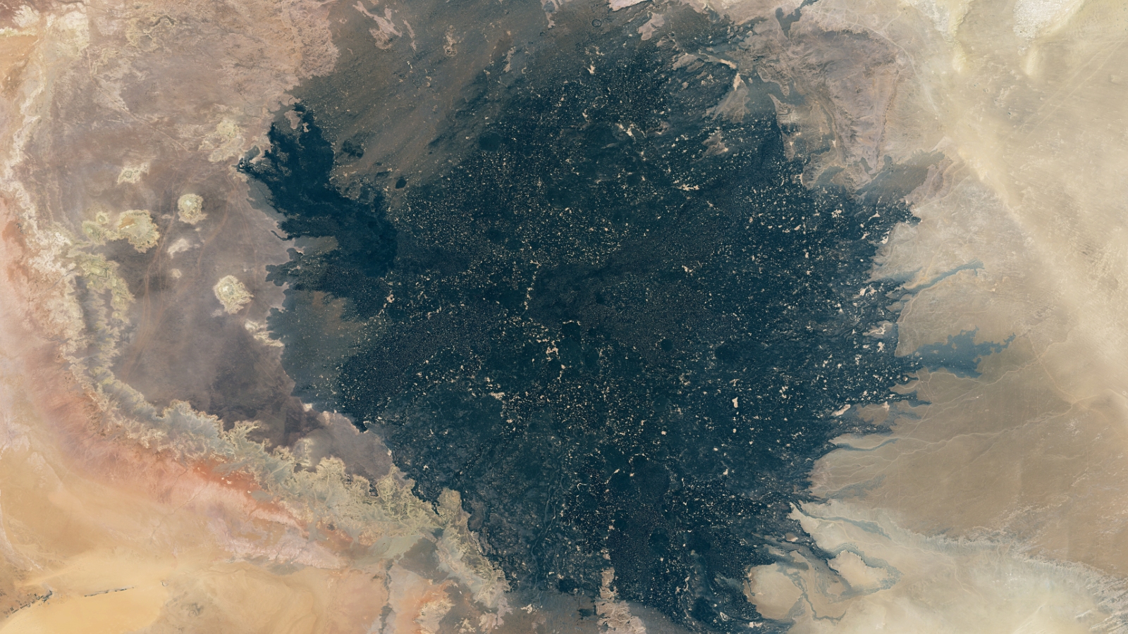
Libya's 'gold-speckled' lava shadow
A stunning composite image, made up of three years' worth of satellite photos, shows the ancient lava of Libya's Haruj volcanic field interspersed with patches of golden sand.
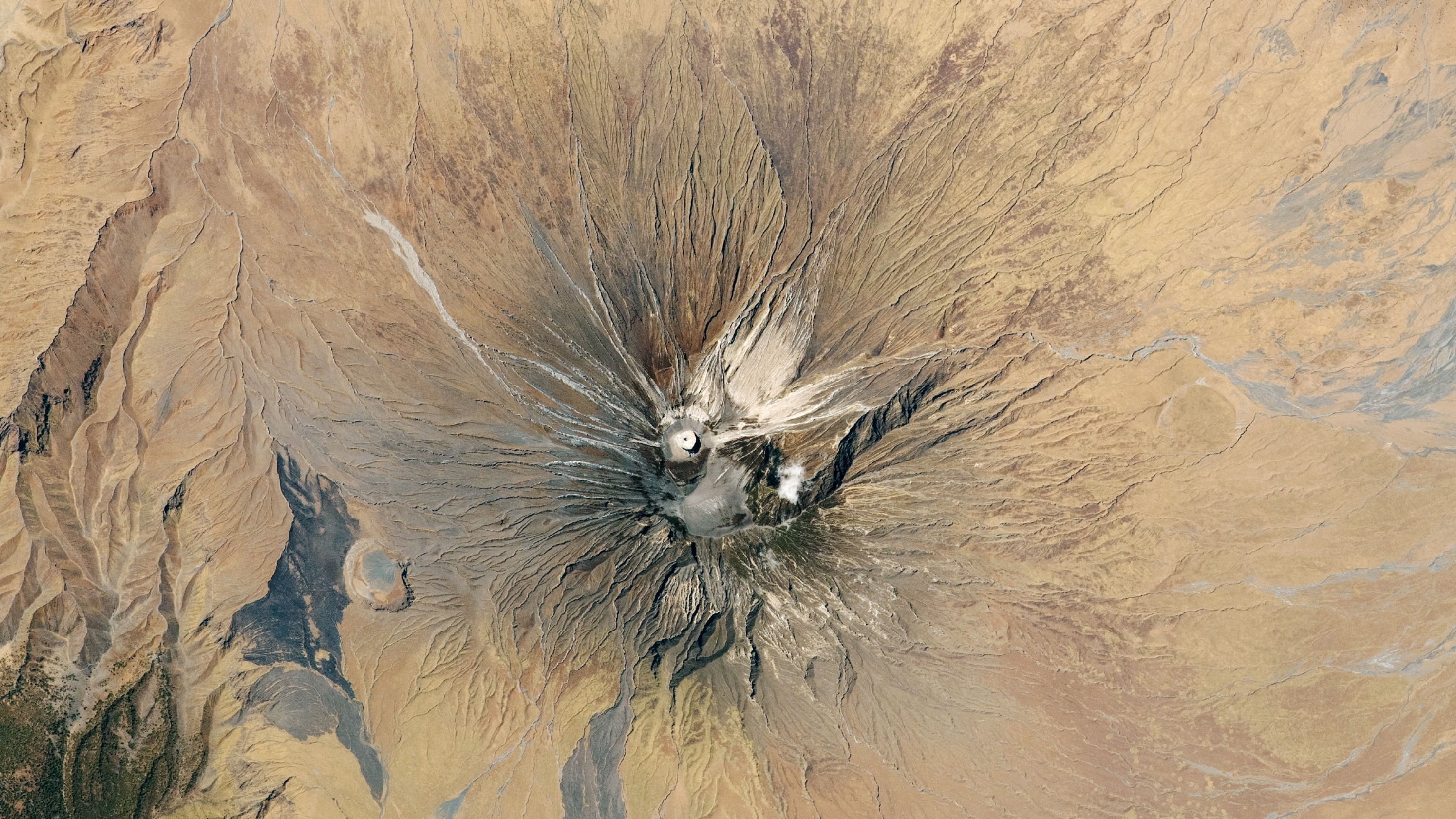
Tanzania's 'Mountain of God' looms
A 2020 astronaut photo shows the unique structure of Ol Doinyo Lengai, an active stratovolcano in Tanzania that was recently adorned with a bright white "ash cone."
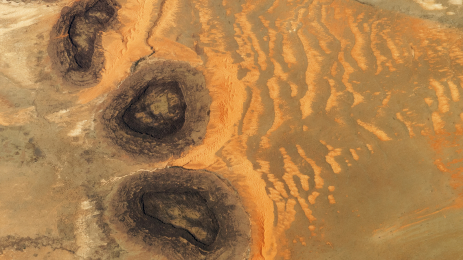
Mauritania's mysterious mesa trio
A 2023 astronaut photo shows three dark hills, or mesas, towering above part of the Sahara desert in southern Mauritania. The structures are remnants of a single Paleozoic era formation.





 Bengali (Bangladesh) ·
  English (United States) ·